Tre Cime di Lavaredo Loop
EASY–MODERATE
EFFORT
10 km · 400 m climb · 3–4 h
The classic circuit beneath the three great towers. Wide, well-marked paths with rifugi along the way. The perfect first Dolomites hike.
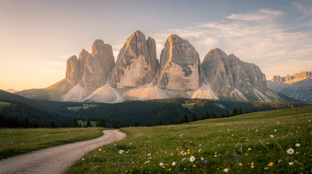
UNESCO World Heritage · Italian Alps
A field guide to the pale mountains: the trails, the gear, and the know-how to hike them well.
Marmolada, the highest peak
Alta Via 1, the classic traverse
Tre Cime loop, the classic day out
Explore the trails
Tap a marker on the map to see distance, climb, and what to expect on each route.
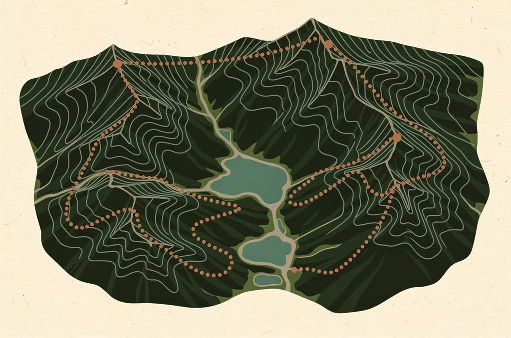
EASY–MODERATE
EFFORT
10 km · 400 m climb · 3–4 h
The classic circuit beneath the three great towers. Wide, well-marked paths with rifugi along the way. The perfect first Dolomites hike.
Trail comparison
Total elevation gain by route. Alta Via 1 is shown as its average daily climb across 8–10 stages.
Tre Cime Loop
EASY–MODERATE
Lago di Sorapis
MODERATE
Alta Via 1 (per day)
DEMANDING
Seceda Ridgeline
MODERATE
Before you go
Four things every Dolomites hiker should know. Tap a row to expand it.
PRIME WINDOW
J
F
M
A
M
J
J
A
S
O
N
D
High trails are usually snow-free from mid-June to late September. Outside that window, expect snowfields, closed rifugi, and winter conditions. Check locally before you commit.
Pack right
What to carry for each kind of day out. The amber items are the ones rescuers wish more hikers packed.
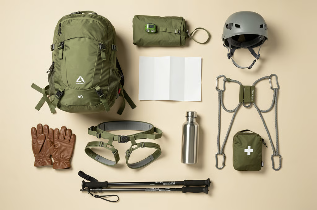
1.5 L of water per person, refilled at the rifugi along the way
Waterproof shell, because storms build fast after midday
Map or GPS app with offline maps downloaded
Sun protection, since the pale rock reflects light hard
First-aid kit and an emergency blanket
Cash for rifugio stops, as cards aren't always accepted
Did you know?
distinct mountain groups
hectares protected by UNESCO
named a UNESCO World Heritage site
The rock itself, dolomite, takes its name from French geologist Déodat de Dolomieu, who first described it in 1791.
At dawn and dusk the peaks glow pink and violet. Locals call it enrosadira, “turning rose” in the Ladin language.
Many via ferratas began as WWI supply routes. You can still hike past trenches and tunnels carved into the peaks.